 N1DG I am writing this on the way to Pago Pago from Jarvis Island. What a ride! No, I don’t mean the storm we just went through which had winds peaking at 68 knots (hurricane strength). The trip to Jarvis really began eight years ago right after the successful Baker Island DXpedition where we tried to keep a few operators on the ship and remote to the radios on the island. The remote idea was a total failure yet the DXpedition was a great success except that it left the team totally exhausted.
On the way back to Fiji, George, AA7JV, said to me: “There has to be a better way.” And so began a three-year process where the end result was a fully remote system including a custom-made landing craft, software control systems, and custom-designed antennas made to work with reduced height and minimal guying. George’s Radio-in-a-Box (RiB) system design was funded by the Northern California DX Foundation (NCDXF) and tested successfully in the Bahamas.
See the Spring 2021 and Winter 2023 NCDXF Newsletters for articles on the evolution of the RiB concept and design.
In December 2021, we started the long process of approaching the Superintendent of the Pacific Remote Island National Monument for a Special Use Permit allowing ham radio on either Johnston or Jarvis Islands. We were quickly told that the U.S. Air Force was not in favor of visitors to Johnston, so we proceeded with Jarvis where the U.S. Fish and Wildlife Service (USFWS) was eager to send a biologist.
First, a Compatibility Determination (CD) was needed. In September 2022, I met in person with USFWS personnel in Honolulu to describe the RiB system and the minimally invasive methods we could employ. We emphasized that instead of 15 operators, 10 tents, 12 antennas, a toilet and seven generators as we used on Baker, we could replace that with a pontoon amphibious boat containing all the radios and generators, six or seven vertical antennas of reduced height and no need to stay on the islands. I brought along videos of the RiB in action in the Bahamas and detailed PowerPoints explaining the system.And, we could offer needed transportation to their biologists.
After that meeting, the USFWS began the process of approving a CD based on a reduced footprint RiB activation. Finally, in January 2024, we received the good news of a positive determination. It was only then that we could formally apply for a special use permit (SUP). The CD empowered the Superintendent (now a different person) to issue the terms and dates of a SUP for us and issue the actual permit. The date offered was August 2024 based on available USFWS personnel. While not an optimal date, DX-wise, it was what was offered and we accepted it.
Jarvis Island is a National Wildlife Refuge (NWR) and part of the Pacific Remote Islands Marine National Monument (PRIMNM). The coral island is an uninhabited, approximately 4.5 sq. km in size, and located in the South Pacific Ocean, about halfway between Hawaii and the Cook Islands.
Jarvis is one of the Central Line Islands (Palmyra is one of the Northern Line Islands). Jarvis Island is the largest of three U.S. equatorial possessions, which include Baker Island and Howland Island. Jarvis, in addition to being part of a different island group from Palmyra, is also separated from Palmyra by the division of territory created by a treaty between the U.S. and Kiribati signed in 2013. It deserves its own country status!
Jarvis Island was discovered in 1821 by Captain Brown on the British ship Eliza Francis. It was mined for guano in the late 1800s under the Guano Act of 1856 when it became a U.S. possession. It was placed under the juris¬diction of the Department of the Interior on May 13, 1936 (Executive Order 7368).
Jarvis truly is a long distance from everywhere.
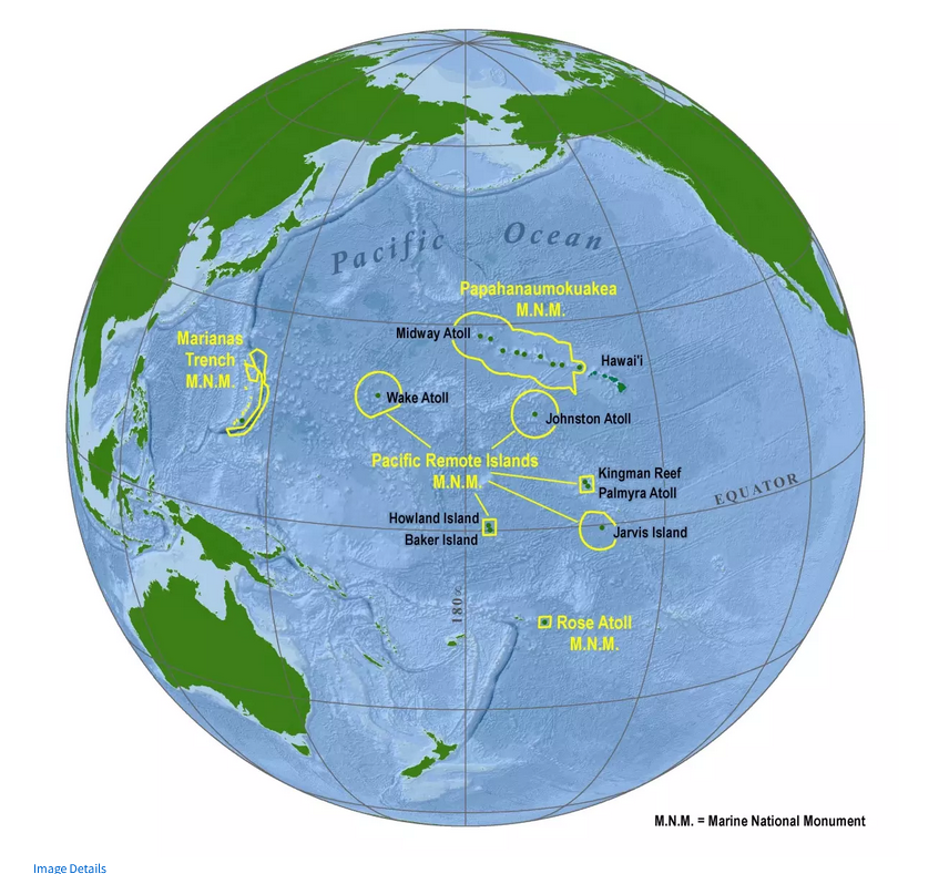
Figure 1 - Pacific Remote Marine National Monument on globe.
TheAmerican Equatorial Islands Colonization Projectwas a plan initiated in 1935 by the United States Department of Commerce to place U.S. citizens on uninhabited Howland, Baker and Jarvis Islands in the central Pacific Ocean so that weather stations and landing fields could be built for military and commercial use on Pan Am air routes between Australia and California. Additionally, the U.S. government wanted to claim these remote islands to provide a check on eastern territorial expansion by Japan. The colonists, who became known as “Hui Panalāʻau,” were primarily young native Hawaiian men and other male students recruited from schools in Hawaii. In 1937, the project was expanded to include Canton and Enderbury in the Phoenix Islands. The project ended in early 1942 when the colonists were evacuated from the islands at the start of the war in the Pacific.
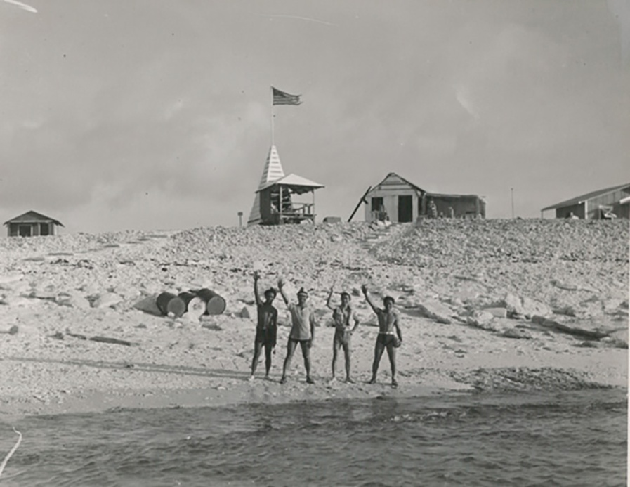
Figure 2 – Jarvis, 1936
After securing the SUP in early 2024 we had little time to organize the DXpedition, raise funding for fuel and boat personnel and recruit remote operators. In 2023, the MV Magnet, owned by AA7JV, had already entered the Pacific and by June of 2024 we had successfully trained a core of remote operators with operations from FO, E5, VP6D, KH8S and KH8. Theat island team would be George, AA7JV;Tomi, HA7RY;Don, N1DG;Adrian, KO8SCA, and Mike, KN4EEI. QSOs with any of these ops would also count for IOTA and POTA credit, a big change from previous program rules. That is how rare Jarvis was, the award programs knew the restrictive USFWS rules prevented on island operators. Since we were operating in the island refuge, exceptions were made. Remote operators not in the refuge wouldn’t count. The NCDXF stepped up with funding to cover the fuel costs,the largest part of the funding. Many other foundations and clubs provided additional funding to cover permit fees and other costs associated with an endeavor of this size. Our friends at DX Engineering and Flex were our main equipment suppliers, and individuals, as always, tossed in funds needed to activate this rare island.
We organized the two remote teams under AA7A (FT8) and W1VE (CW). Pilots were AA1V, JH8JWF and CT1FPQ. Remote ops were: W1UE (our top remote QSO generator),DL6KVA, K6MM, WD6T, AA7A ,W7YED, CT1BOH, CT1ILT, CT1EEB, E21EIC, PB8DX, N6MJ, W8HC, F6EXV, K5GO, JK1KSB, KJ7KOJ (17 years old), W1VE, JE1CKA, KL2A, W1RM, JN1THL, E70T, N7NR, K6UFO, JH8JWF, E77DX, ZL3CW, N1QV, KK7EXT (14 years old),KN4EEI, PY5EG, AA1V, KL7SB, K6TD, CE3CT, KY7M, HA2NA, NP4Z, DJ4MX, ND2T, VE5MX, W2GD, VK3GK, K1IR and K4NHW. All foreign remote operators (even those with US licenses) had to abide by FCC rules. Therefore, control of the radios on the island was in complete control of the 5 on island operators. The remote laptops for CW and FT8 were air gapped to the stations on the island and the control of the radios was on notebooks not accessible by the remote teams.
In July, the team operated as K8R from American Samoa as a thorough equipment test and warmup, making 37,000 QSOs. Just like the 2018 Baker Island DXpedition with the very first Fox/Hound activation, the Dateline DX Association was working with the WSJT-X developers to introduce another major advance in digital modeFT8 technology, the“SuperFox.” We even had a special logo courtesy of MM0NDX and DX-World.net:
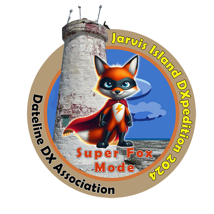
Figure 3 - SuperFox Logo
On July 31st, the day arrived with the five-man team (already assembled from the K8R DXpedition) joined by the arrival of the three USFWS biologists. While we waited for optimal sailing weather, we were briefed by the USFWS personnel on island rules, and we had Magnet safety drills including jumping off the boat and climbing into a sea life raft.
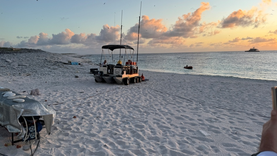
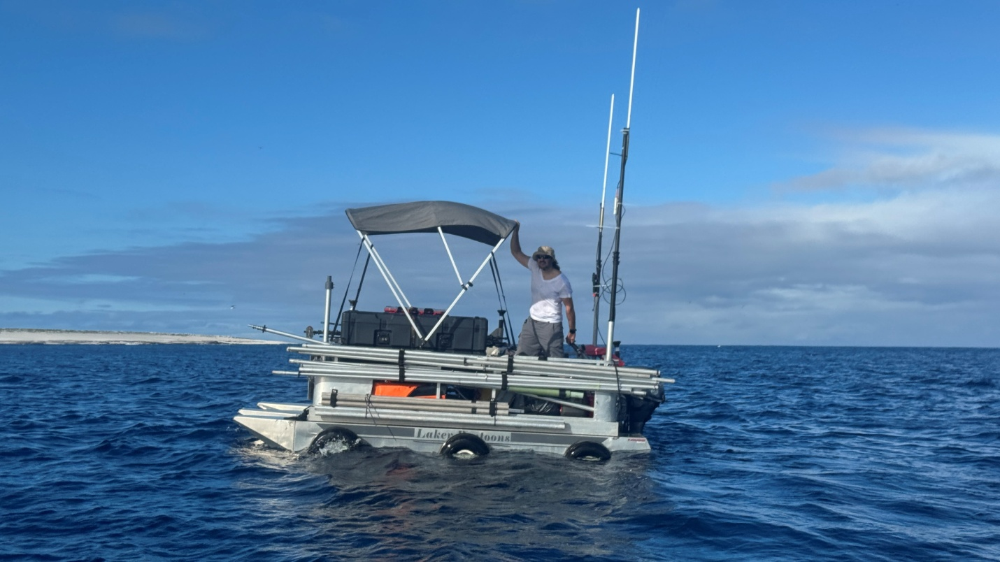
The RiB amphibious boat (built by George and Mike out of a lake pontoon boat) was fully loaded and ready for fast deployment. This vital piece of the kit contained radios, amplifiers, generators, the 900 MHz link and most of the antennas.
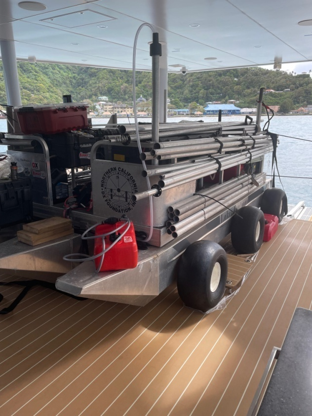
Figure 4 - RiBamphibiousboat loaded on the deck of Magnet
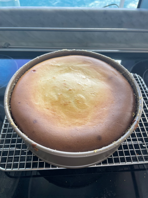
On July 31st , the day began with me making a NY style Cheesecake and later the arrival of the the three USFWS biologists. (Pic of cheesecake).
The team was assembled and well fed. While we waited for optimal weather we were briefed by the USFWS personnel on island rules and we had Magnet safety drills including jumping off the boat and climbling into a sea life raft.
See you tube video :
On August 2nd, we left the Port of Pago Pago and dropped anchor at Pola on the northern side of American Samoa, positioned to leave before first light. On August 3rd, we did just that and started our close to 1,900 km(1,180 mile) journey (yes, Jarvis is a long distance away!).Enroute we set up all the notebooks and checked out the data network.
Pola, American Samoa departure point
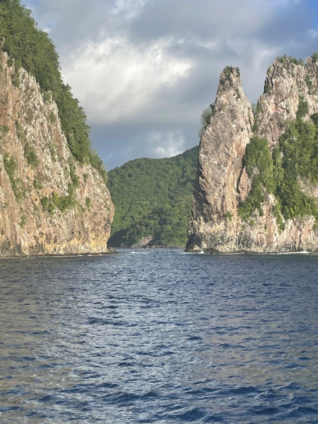
After our 3-day uneventful journey we arrived at Jarvis at around 0600 local time on August 6th. By 0700the first tender was loaded with Beth and Meagan (two of our USFWS monitors), George, and some supplies and headed to the island. George set the on-shore anchor for winching up the RiB boat and the USFWS approved the planned antenna locations.
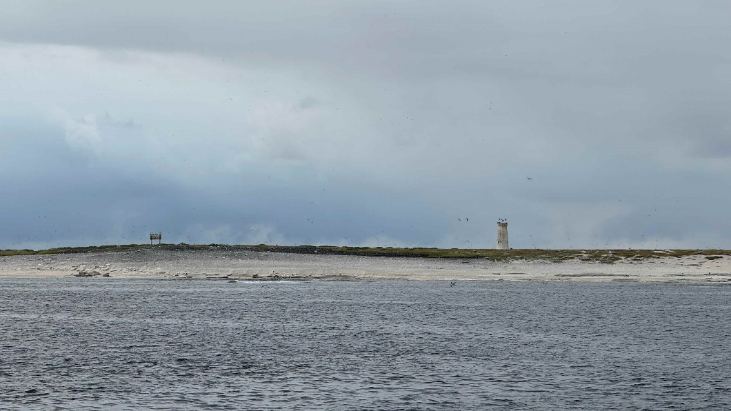
Figure 5 – Arrival at Jarvis Island
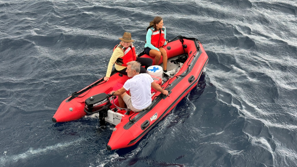
Figure 6 - First trip to island.
The RiB boat was lowered and began to make its way to Jarvis piloted by Mike. Shortly after that,on the second boat trip, Adrian, Tomi, and I were on our way. By 0750 we were all on the island helping to position the RiB boat. The RiB, using the anchor set ashore, was winched up on the beach in a few minutes. See the video of the RiB boat heading to Jarvis here:
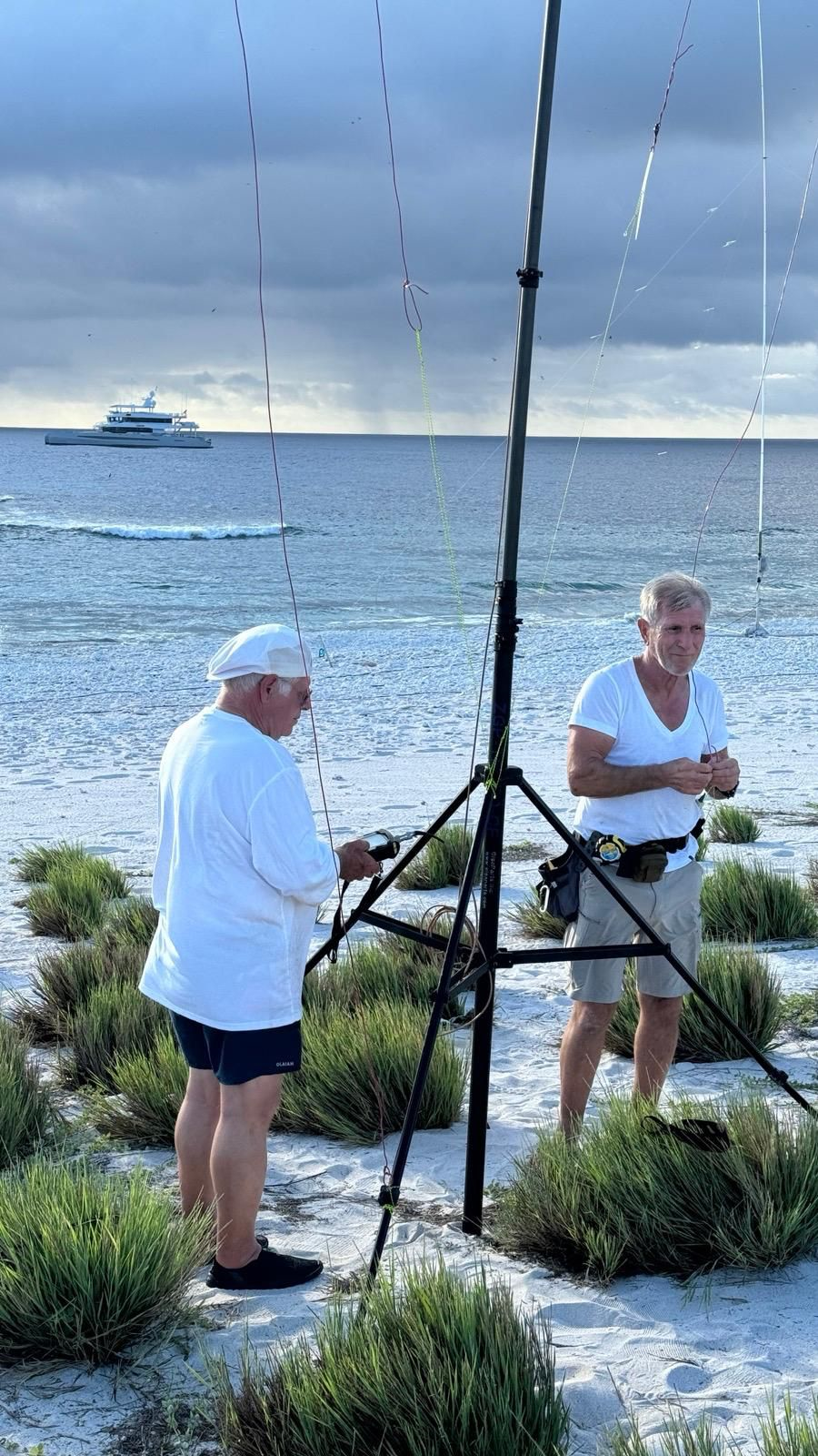
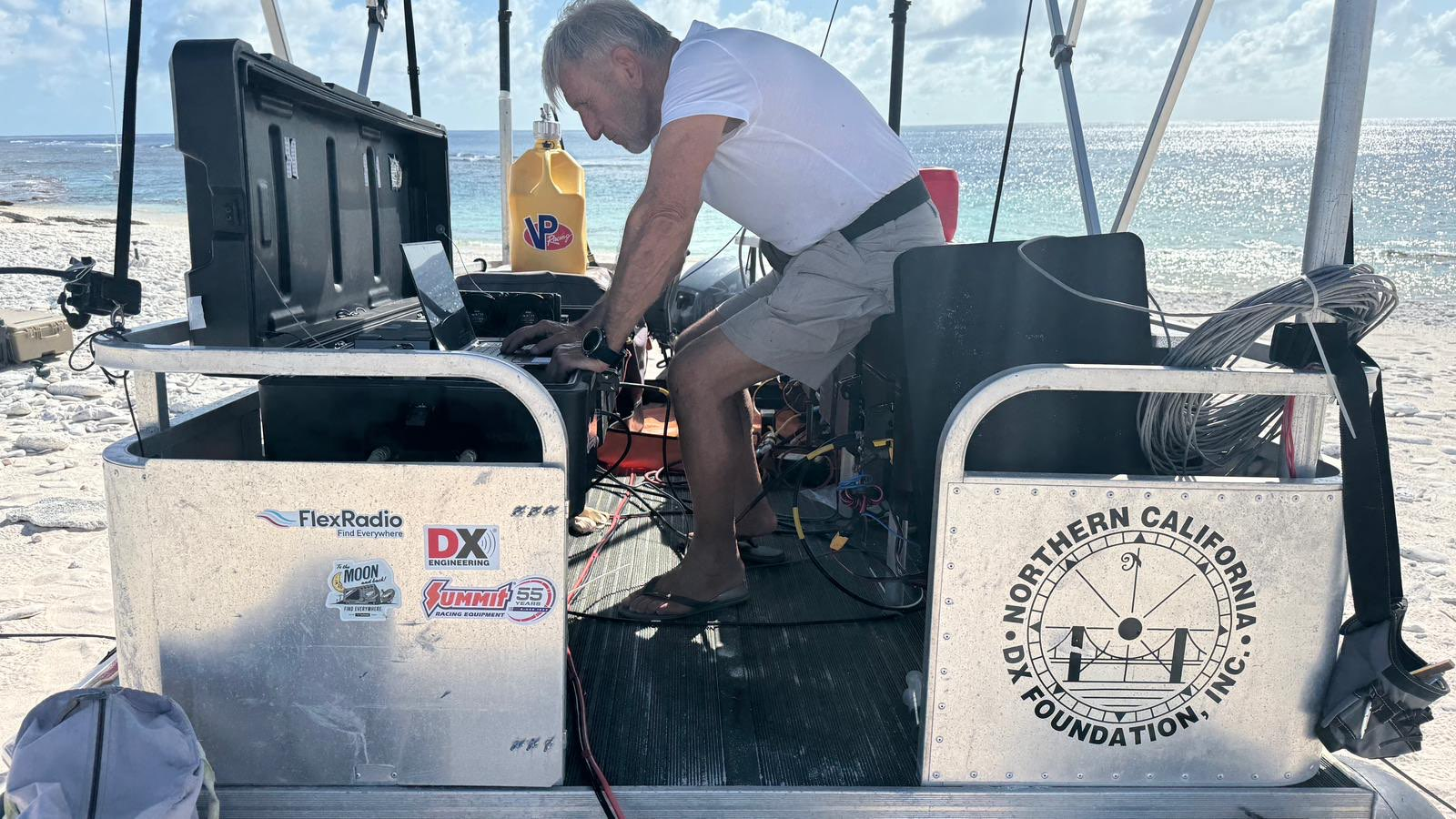
After positioning the RiB boat, Mike started the generators and set up the 900 MHz, 34Mbps link to the Magnet. George started up the radios and RiB-based notebooks. Tomi started laying out coax while Adrian and I started assembling antennas. The beach temperature was approaching 40C degrees. Meanwhile, the USFWS contingent moved down the beach and started setting up their camp by the day beacon.
Within four hours of landing on the beach five radios were up and running, the link was established, and three antennas were guyed and tuned. The ship’s crew had delivered all the USFWS gear and fuel and other antennas that weren’t on the RiB boat. It was time for a break, and we returned to the Magnet for lunch. George quickly made sure the ship’s PCs were all connected to the radios in the RiBs and let loose the first team of remote operators on three radios. Within four hours of the first landing on Jarvis, QSOs were appearing in the logs. By the time we returned to Jarvis after lunch almost 1,000 QSOs were already in the log!
In the afternoon while the remote teams had stations on the air the five of us returned to the beach and set up the remaining verticals and the 15-20 meter dual band VDA antenna. By sunset we were exhausted but the basic DXpedition was on the air with six radios (three with amplifiers), six antennas, and good connectivity over the internet. George was ready to operate 160!
George and Tomi tuning the VDA. This is a drone view of what the complete remote station on the island looked like after day one:
The antenna work was never finished.On day three our low band RX DHDL went up and the 6-meter beam (vertically polarized) was installed. USFWS monitors were concerned about the interaction of the tern bird colony (the largest in the world) and our guy wires. First, we added more flags and streamers to the antennas and guys. Then we reduced the height of the verticals and moved them from the berm to the sealine. By the end of the DXpedition our 45 ft verticals were down to 23 ft, reducing the need for the high guy wires. Reports indicated few could tell the difference.
We also worked with the USFWS observers in other ways too. This is what the Jarvis Island sign looked like when we arrived:
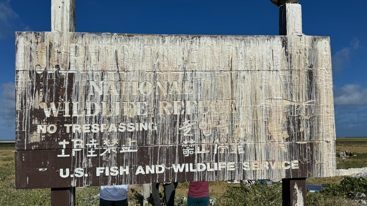
Figure 7 – Original Jarvis Island sign
Mike assisted the USFWS personnel in repairing the sign. After cleaning off a decade of bird droppings they repainted it making it look great for our team picture:
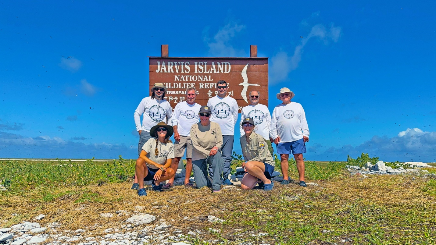
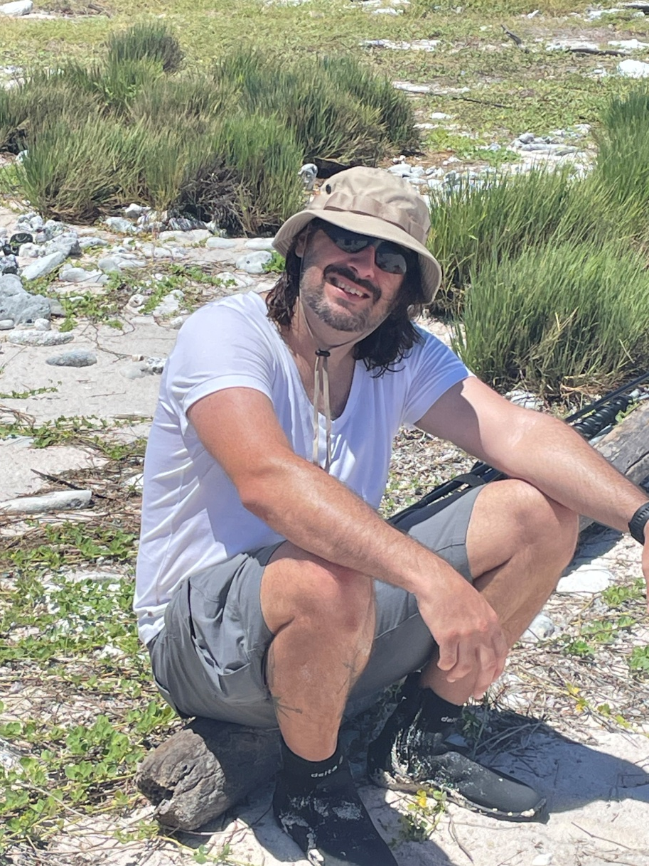
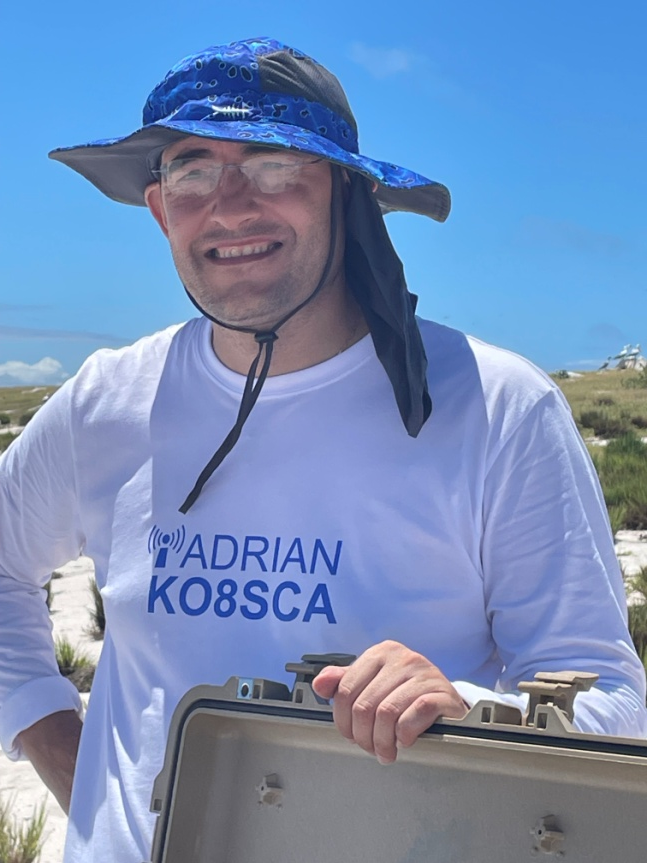
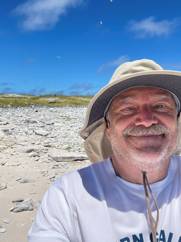
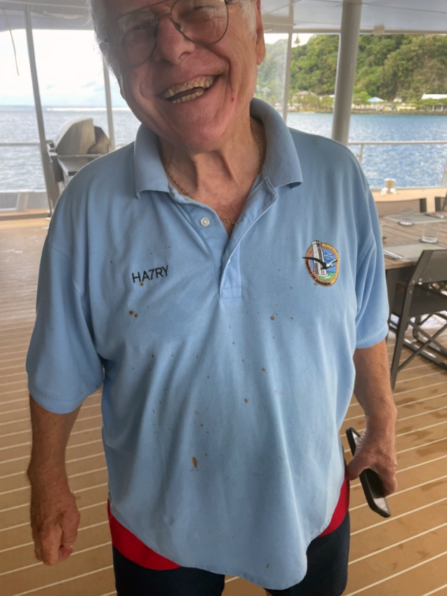
Figure 8 - Team picture: L-to-R, Bottom row from USFWS – Meagan, Beth and Anna; Top row –Mike, KN4EEI; George, AA7JV; Adrian, KO8SCA; Don, N1DG, and Tomi, HA7RY.
Our close work with the USFWS and their appreciative response will be essential in our efforts to activate more protected entities around the world.
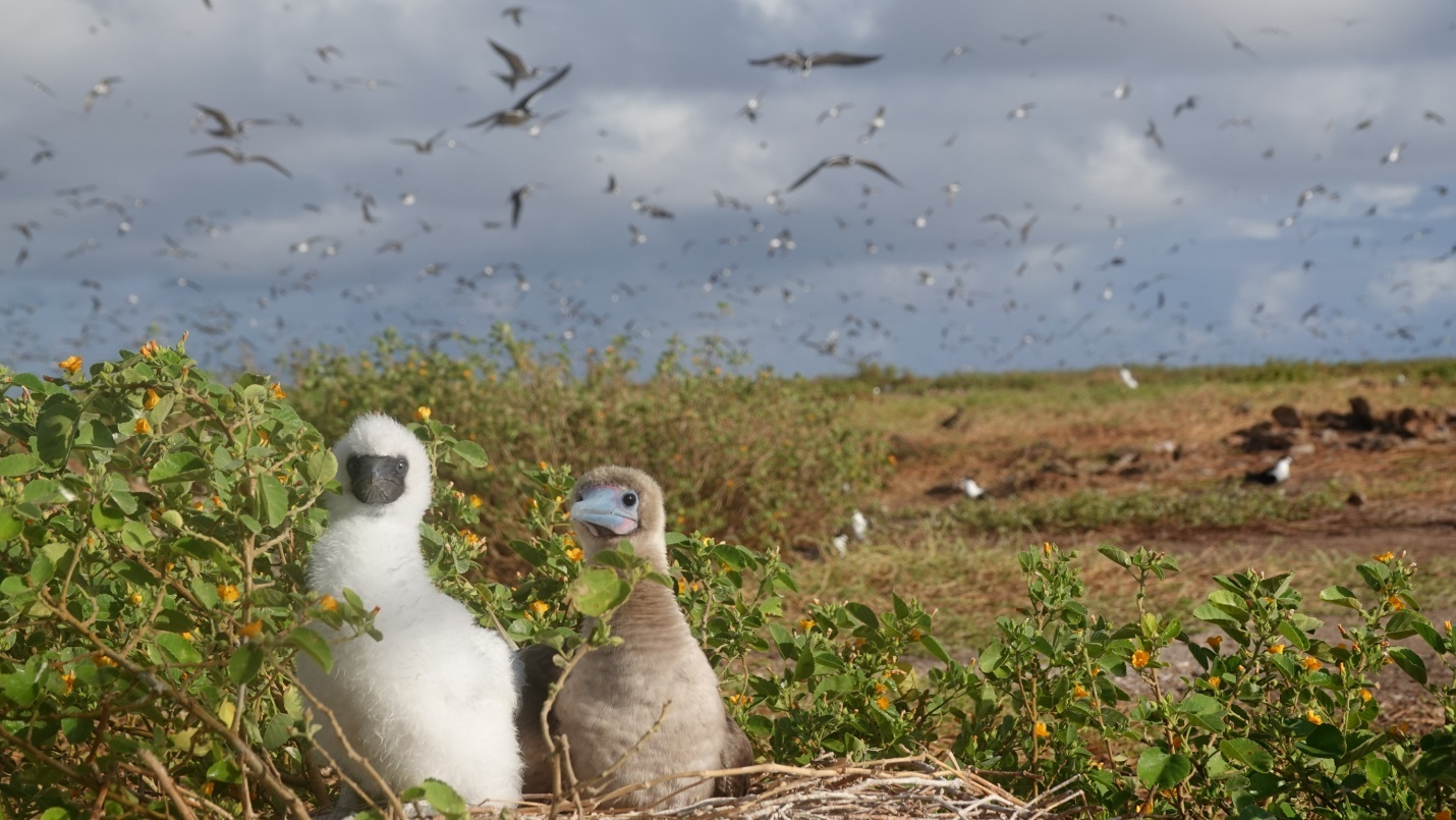
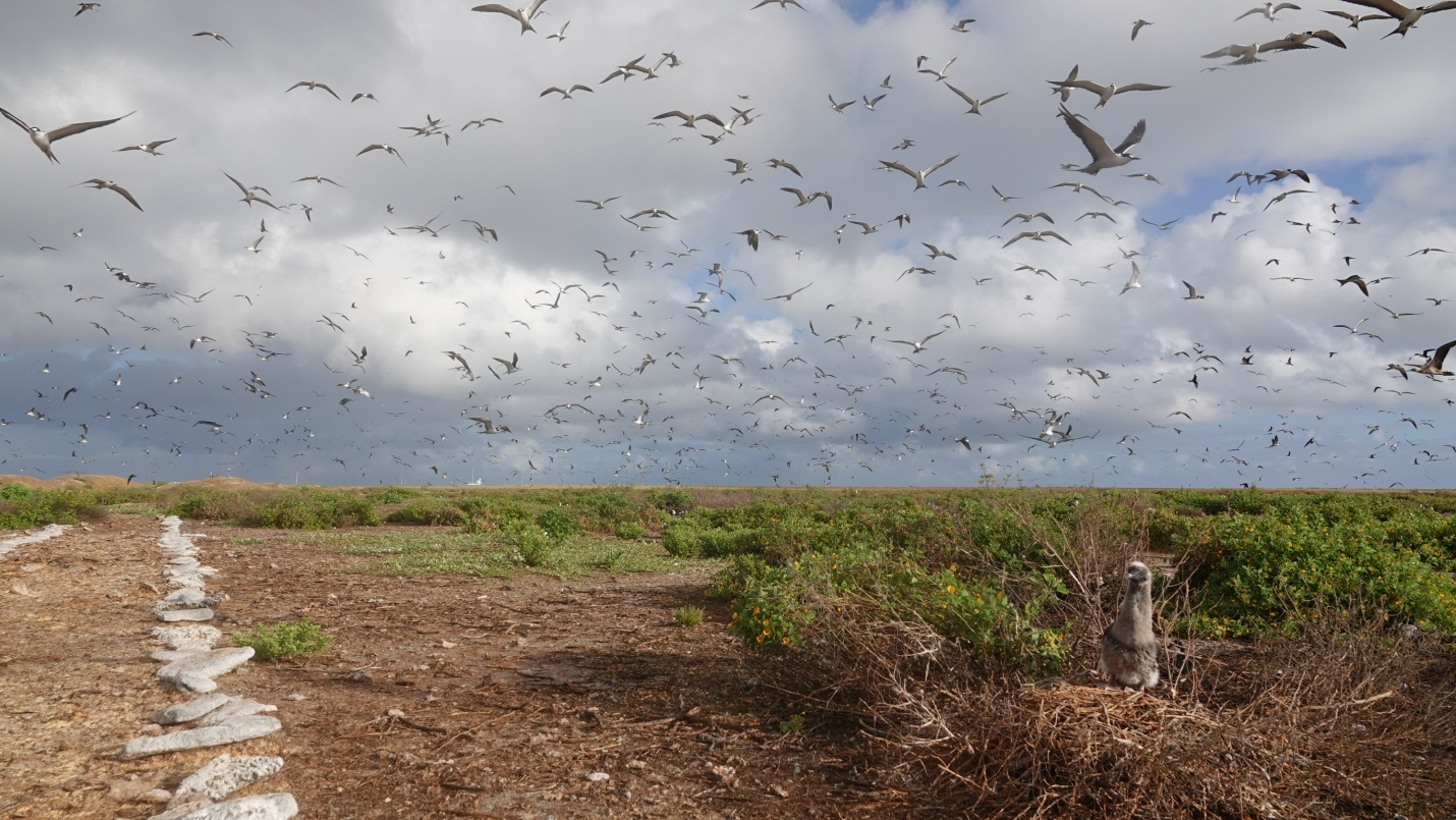
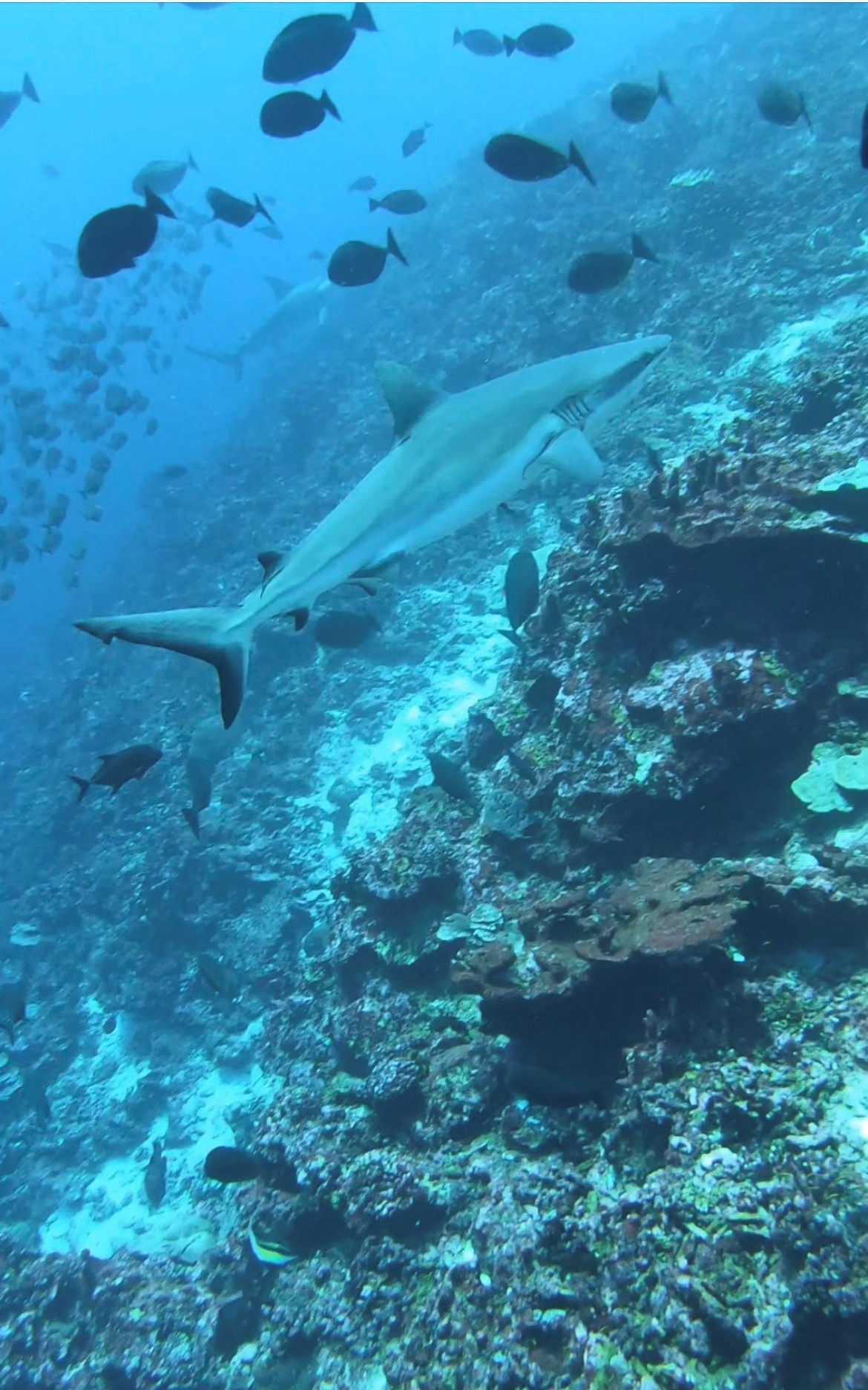
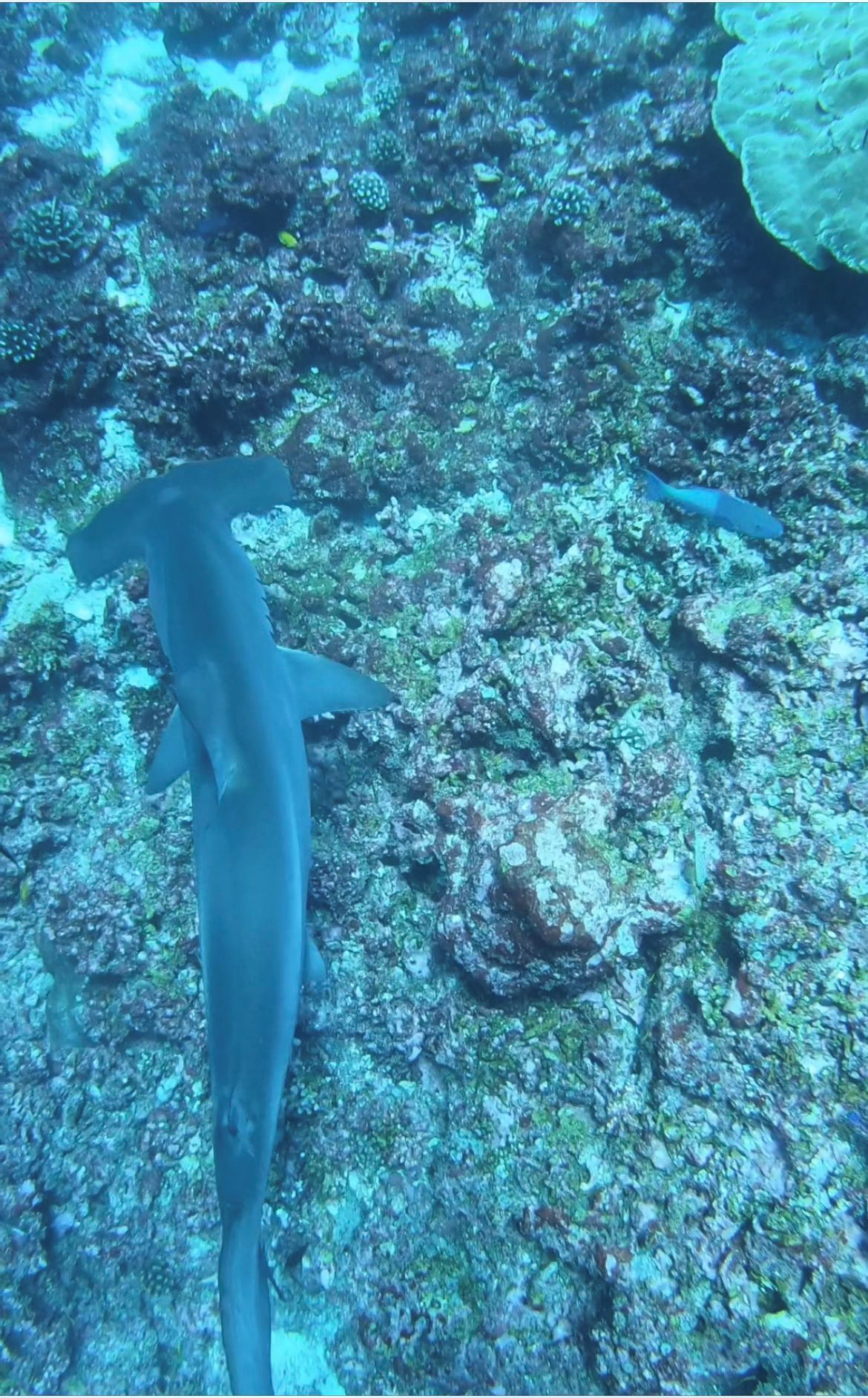
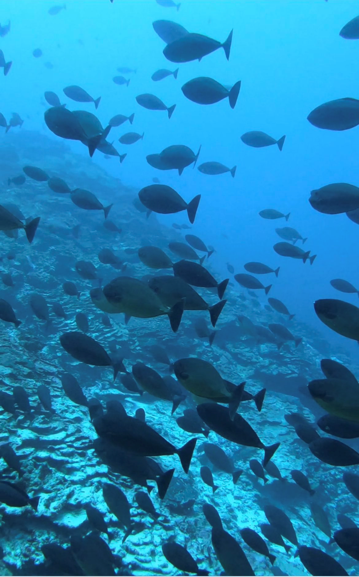
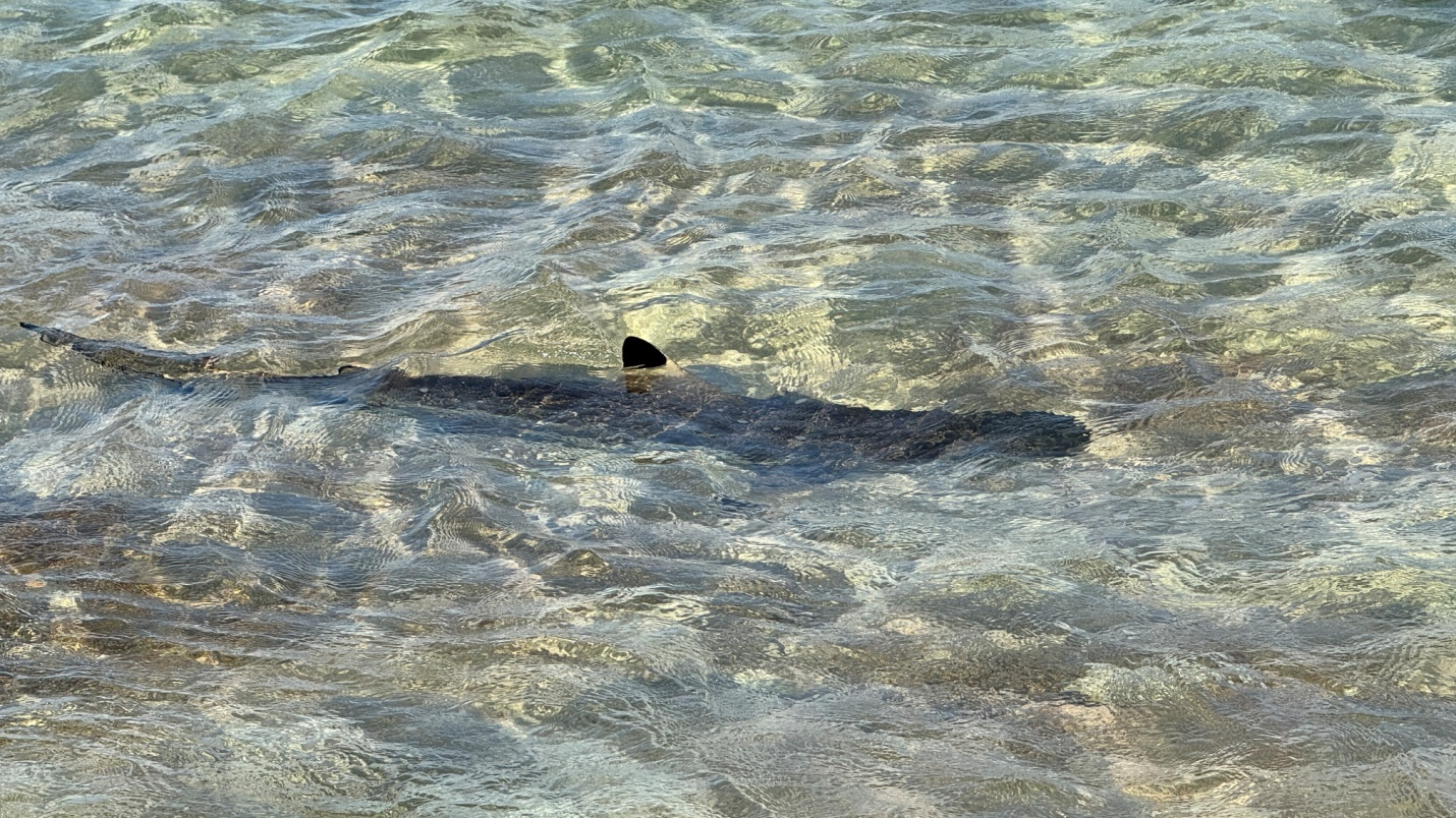
Jarvis is an amazing place. In addition to containing the world’s largest Sooty Tern population it contains Frigate Birds, red tailed tropical birds, offshore 100 years old clams that are rapidly being lost to poaching and rising sea temperatures, 4 kinds of boobies and a reef full of sharks, manta rays, sea turtles, giant lobsters, dolphins and vibrant corals.
Here are some of the pictures the team took:
 |
While diving looking for the reported anchor (found but loose)
|
|
|||
Blue masked boobie and chick |
|||||
 |
|||||
Sooty Terns over walkway dating back to 1936 colonization |
|||||
 |
|||||
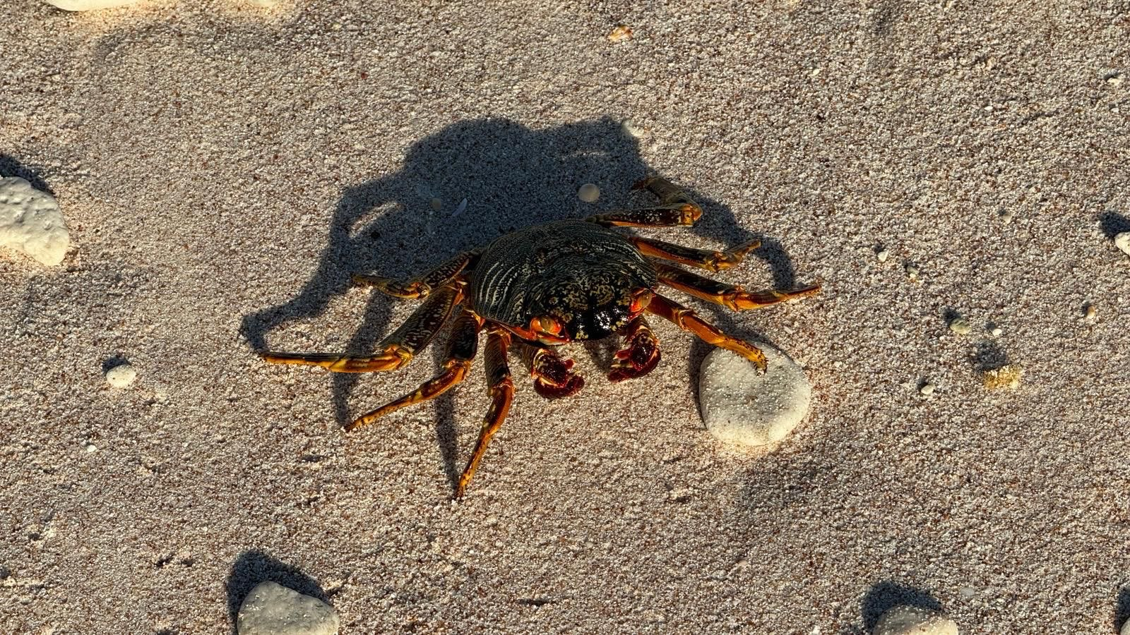
Jarvis crab |
 |
 |
|
Black tipped shark near where we were installing antennas |
Magnet offshore after a shower
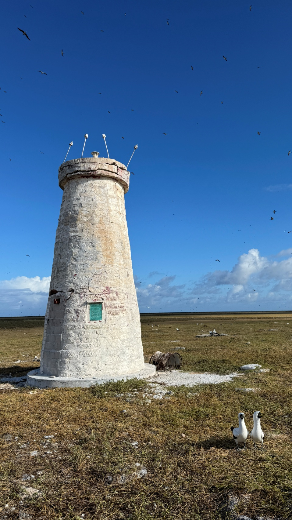
The Day Beacon from the 1930s
 |
 |
|
The Rib—all radios are right here. No tents, no latrines, no people |
Mike driving the RIB boat to Jarvis |
|
 |
||
George turning on radios on morning of landing |
||
 |
 |
 |
||
Mike on Jarvis |
|
Adrian on Jarivs |
|
Me on Jarvis |
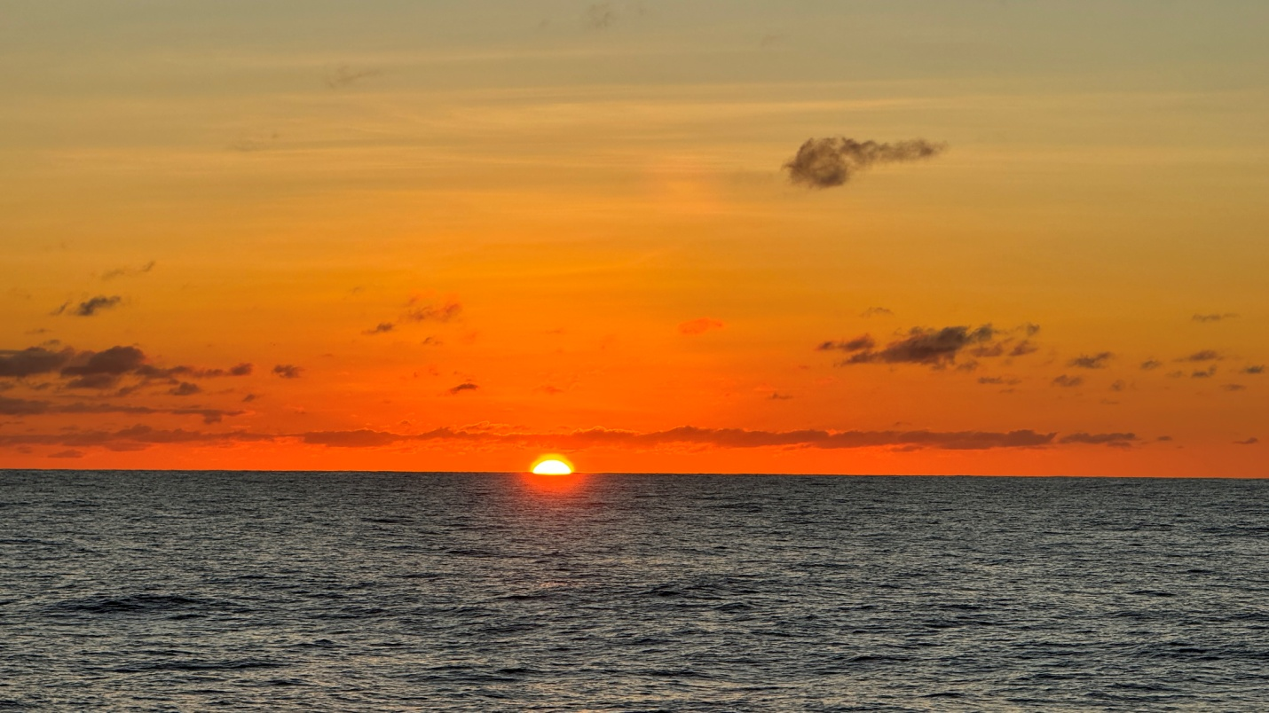
Nothing like Pacific sunsets
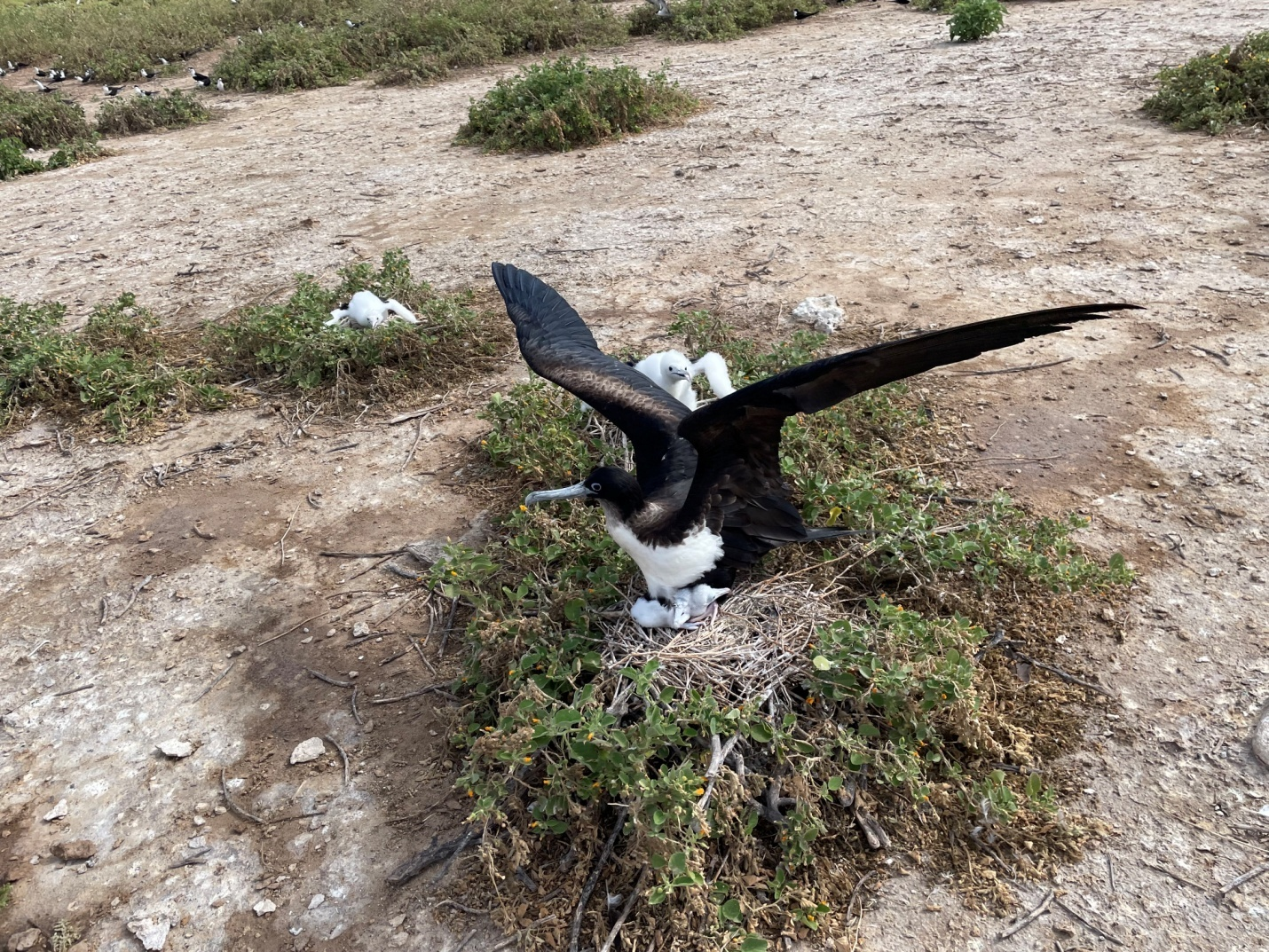
Frigate Bird on newly hatched chick
The DXpedition quickly took on a routine similar to other remote island adventures, i.e., checking antennas, refueling generators, fixing wires affected by salt corrosion, etc. One aspect of a RiB remote site is the need to maintain the link to the island while having a vessel that was not allowed to drop anchor in a coral reef. It required staffing the bridge 24/7,and constantly repositioning the boat so that the link didn’t drop.
During our DXpedition we even made time to do two live interviews, one for the DXEngineering podcast and one live at the Pacific Northwest DX Convention during which KJ7KOJ and KK7EXT were operating N5J remotely at the event in Everett, Washington.
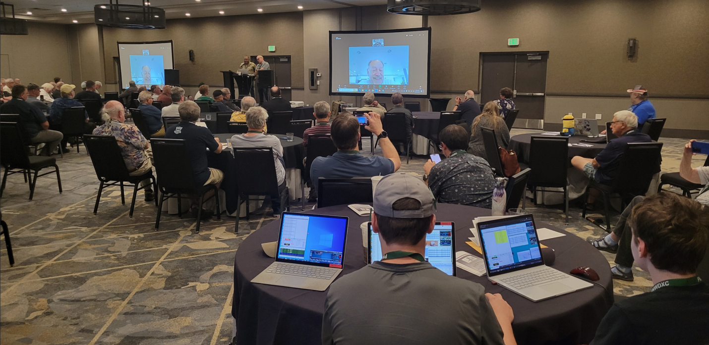
Me speaking at the PNW DX convention via zoom
Daily we were adding 8 to 10,000 QSOs to our log. That was until the sun decided to send a bunch of CMEs our way. Our daily rate dropped by half, and we started to doubt reaching our goals of 100,000 QSOs including 25% with Europe and 20,000 unique calls. We were pleased then when those goals were met as the last few days saw some of the best conditions of the DXpedition and this solar cycle. Imagine, 2,000 160-meter QSOs in the middle of the summer even reaching as far assouthern and eastern Europe and the Middle East. FT8 QSOs were less than half the total. We were on the air 94% of the time at Jarvis. None of our homebrew solid state amplifiers failed; no Flex radios failed, and other than one night when a generator shut down (one of three paralleled together), our uptime was impressive. And the three USFWS biologists were able to spend close to two weeks doing science on a remote island courtesy of the Amateur Radio Community.
As previously mentioned, N5J was the first SuperFox DXpedition and our results were nothing short of fantastic. We had rates consistently around 200 QSOs per hour per radio for most of the first week. Gradually the completion rate fell off and some stations just could not copy their R reports. For some it was having their radios set with too sharp a bandwidth, others had wrong AGC settings, and some had the wrong version of WSJT-X. Many sent us screen shots and those showed they were running JTDX and MHSV (not sure how they copied anything). After a week we accommodated these Hounds by switching some stations to the normal F/H mode to give everyone a chance at a Jarvis QSO on digital.
The local team made a quarter of the total QSOs while the remote operators accounted for over 80,000 QSOs. Unlike many large DXpeditions today every QSO on FT8 was handcrafted. There were NO automated QSOs. Each of the five local ops played a different part in making this a success. The RiB technology (including homebrew amplifiers) required the engineering genius of George. Mike was instrumental in fabricating the RiB boat ensuring a 4-hour landing-to-first-QSO feat. I obtained the Special Use Permit through my volunteer work with USFWS and managed the finances. Tomi is an absolute QSO machine and our QSL manager. Adrian worked on the networking and PC issues that a highly advanced remote operation like this throws at a DXpedition. We had two dedicated remote team leaders(W1VE and AA7A) who ironed out scheduling and mode technical issues. W7YED was our Flex Radio Guru
In conclusion, the RiB concept ofthe Jarvis DXpedition overcame permitting issues. As the largest sooty tern colony in the world, the USFWS has been very protective of large-scale visits to the island. It had been 34 years since the last ham radio activity there. We overcame that. Jarvis successfully introduced SuperFox to the world. All FT8 QSOs were handcrafted. No automated FT8 for us. Time at the island was 13 days 7 hours. 13 days were spent operating. A team of 5 local operators set up six radios, eight antennas, and even made 25,300 QSOs. An incredible group of 46 remote operators worked to make this a team success.
Total QSOs: 106,904. An incredible number from the middle of the Pacific.
Clublog shows that over 14% of our QSOs resulted in a new country, and over 43% of those QSOs handed out a new band counter to those in its database. We feel that is the measure of a successful DXpedition.
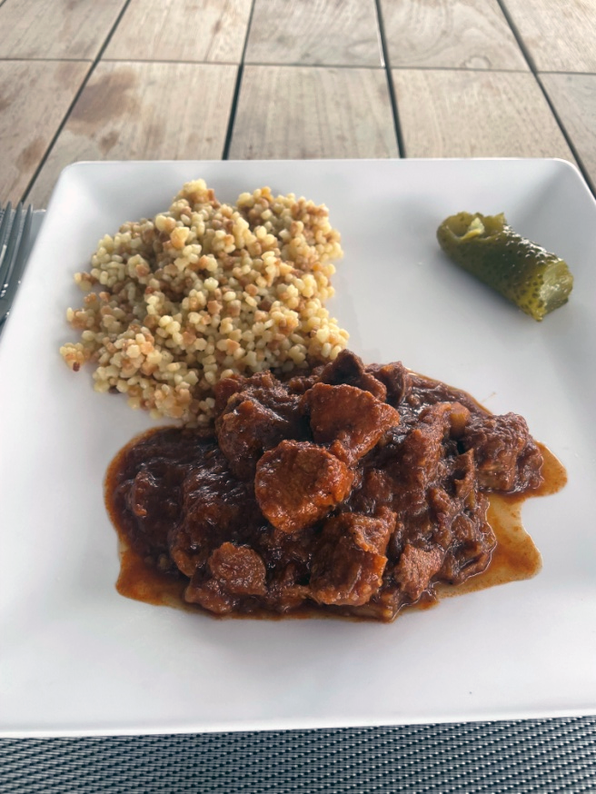
We are now back on the boat and it’s Tomi’s turn at cooking. Hungarian Goulash is on the menu (and on Tomi’s Midway shirt!!): Picture of Tomi the chef.
 |
 |
|
| Tomi - HA7RY |
Hungarian Goulash (video) |
And we are all leaving after a fun and incredible journey remaining good friends. You can’t always say that after an intense month.
The 2024 Jarvis Island DXpedition wishes to thank the staff of the U.S. Fish and Wildlife Service (USFWS) in Hawaii for issuing a Special Use Permit to approve this minimally invasive operation on Jarvis Island NWR and within the PRIMNM. The PRIMNM encompasses approximately 490,000 square miles of open ocean, coral reef, and island habitats, making the total area of the PRIMNM nearly five times the size of all the U.S. National Parks combined and nearly twice the size of the state of Texas. Within the boundaries of the Monument rest seven national wildlife refuges: Howland, Baker, and Jarvis Islands, Johnston, Wake and Palmyra Atolls, and Kingman Reef.
The mission of the USFWS is to work with others to conserve, protect, and enhance fish, wildlife, and plants and their habitats for the continuing benefit of the American people.
Now we can all sit, relax, and rejoice in our success and plan the next adventure using new technology we are now dreaming about.
The Baker vs Jarvis comparison card:
| Baker | Jarvis | |
| Club Log’sMost Wanted List ranking | 12 | 18 |
| Number of QSOs / uniques | 69,000/18,091 | 106,892/21,298 |
| Days on/at island | 12 | 13.5 |
| Days operating | 9 | 13 |
| People camping | 11 | 0 |
| Shower, toilet | 2 | 0 |
| Radios/amplifiers | 6/6 | 6/3 |
| Antennas | 12 | 8 |
| Tents with tables and chairs | 10 | 0 |
| Generators | 8 | 4 |
| Gasoline used (gallons) | 300 | 120 |
| Water used on island (gallons) | 400 | 1 |
| Set up time before first QSOs (hours) | 48 | 4 |
| Time to tear down and pack up (hours) | 24 | 3 |